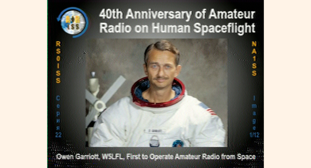
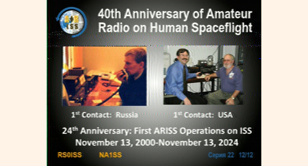
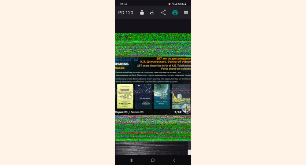
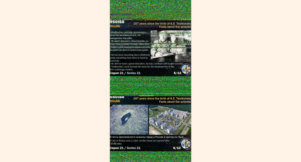
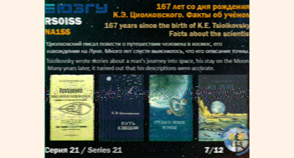
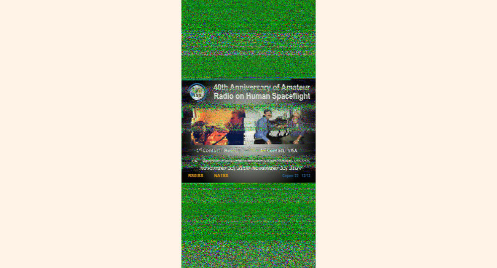
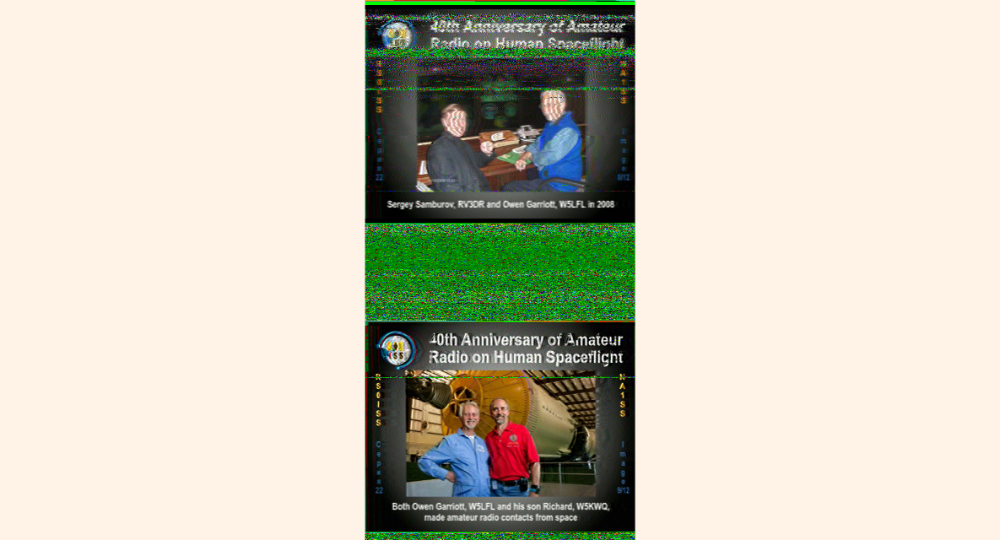
Every so often there are SSTV (Slow-scan television) events using the HAM Radios onboard the International Space Station. Using SSTV, a signal can be sent down to receivers on Earth and the
transmissions, which sounds like beeping, can be decoded into an image. Usually, the images relate to an Space event anniversary and comes in series, kinda like postcards. These events organized by groups like ARISS (Amateur Radio on the International Space Station)
and assisted by Astronauts, Cosmonauts, and the various Space Organizations. SSTV on the ISS is usually on 145.8MHz. The set up I used to get images was a homemade yagi antenna, a Baofeng GT-3wp radio, and used the Robot36 app on my phone to decode.
The antenna is built with 1/8in ID copper piping, 4ft long/1/4th-in OD square aluminum rod, 3D printed bracked to hold the copper to the rod, coax cable and zip-ties. If you are a licensed HAM Radio operator, getting these images can count as "making contact" with
the ISS, when you report to the proper channels, ARISS has more information about that. ARISS Website: https://www.ariss.org
Listening to the ISS
with
a V-Dipole Antenna
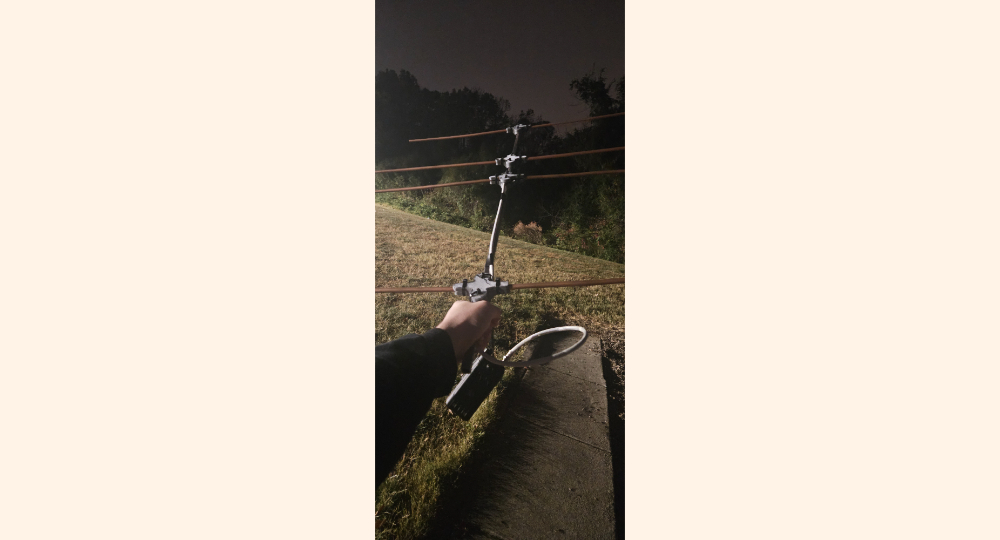
The video is of me listening to the International Space Station VHF radio repeater.
A series of call signs can be heard from radio operators, who can be located hundreds of miles apart from each other. The setup I use in the video
is a Baofeng GT-3WP radio with a homemade double v-dipole antenna. The antenna is made of a 3D-printed antenna frame, a piece of wood, coax cable, and tape.
The ISS repeater frequency is 437.800MHz, which can be seen on the radio during the video.
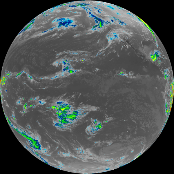
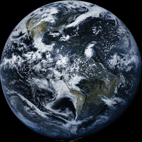
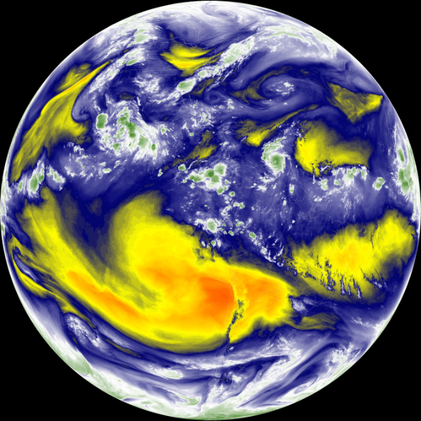
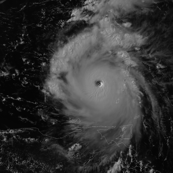
GOES 16 (or GOES East) is a U.S. geostationary satellite that is focused on the Atlantic side of the western hemisphere. GOES 18 (or GOES West)
is a U.S. geostationary satellites that is focused on the Pacific side of the western hemisphere.
Both satellites takes pictures at different wavelengths of light every minute, sorted by channels. Shown above (in order of the images) is channel 15, full color,
channel 9, and then channel 2. Channel 15 images are in the infrared band, used to measure different moisture levels in the atmosphere. Channel 9's wavelength
is at 6.9 micrometers. This channel is used to track jet streams and assist in hurricane track forecasting. Channel 2 wavelength is at .64 micrometers, and it
is used to track winter storms, volcanic ash, and smoke. The full color channel shows what the Earth would look like to us. To get these images, I am using a
Raspberry Pi 3b+ with the Goestools program, a RTL SDR Blog V4 Dongle, a NooElec SAWbird+ GOES LNA, and a 1 meter grid parabolic dish. More information about the Goestools
program can be found here: github.com/pietern/goestools. And more information about GOES 16 and its channels can be found here: noaa.gov/jetstream/goes_east.
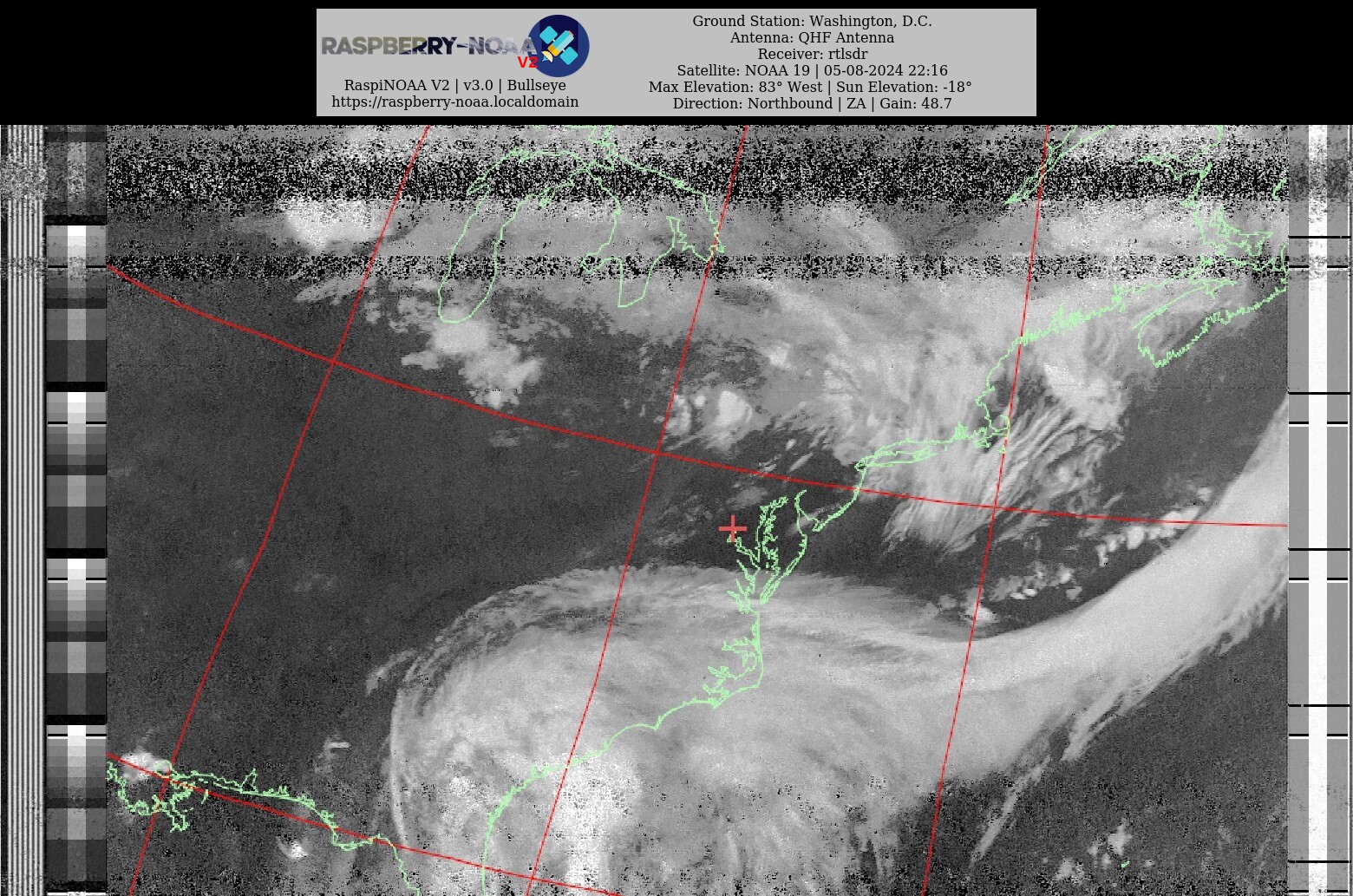
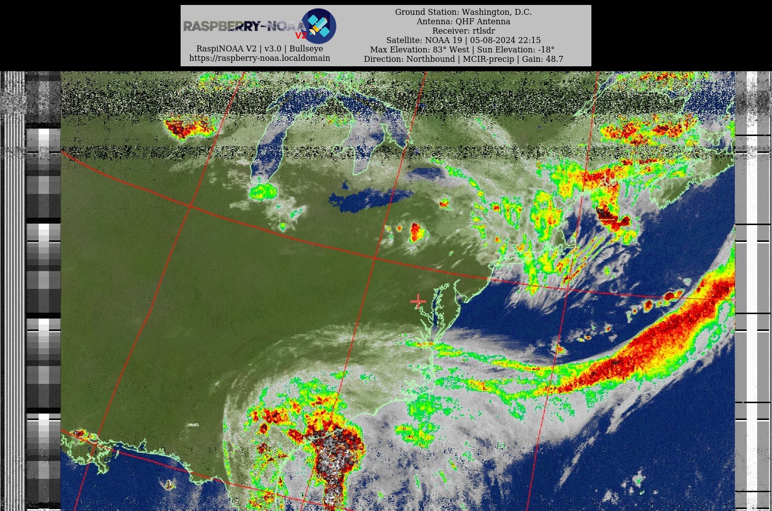
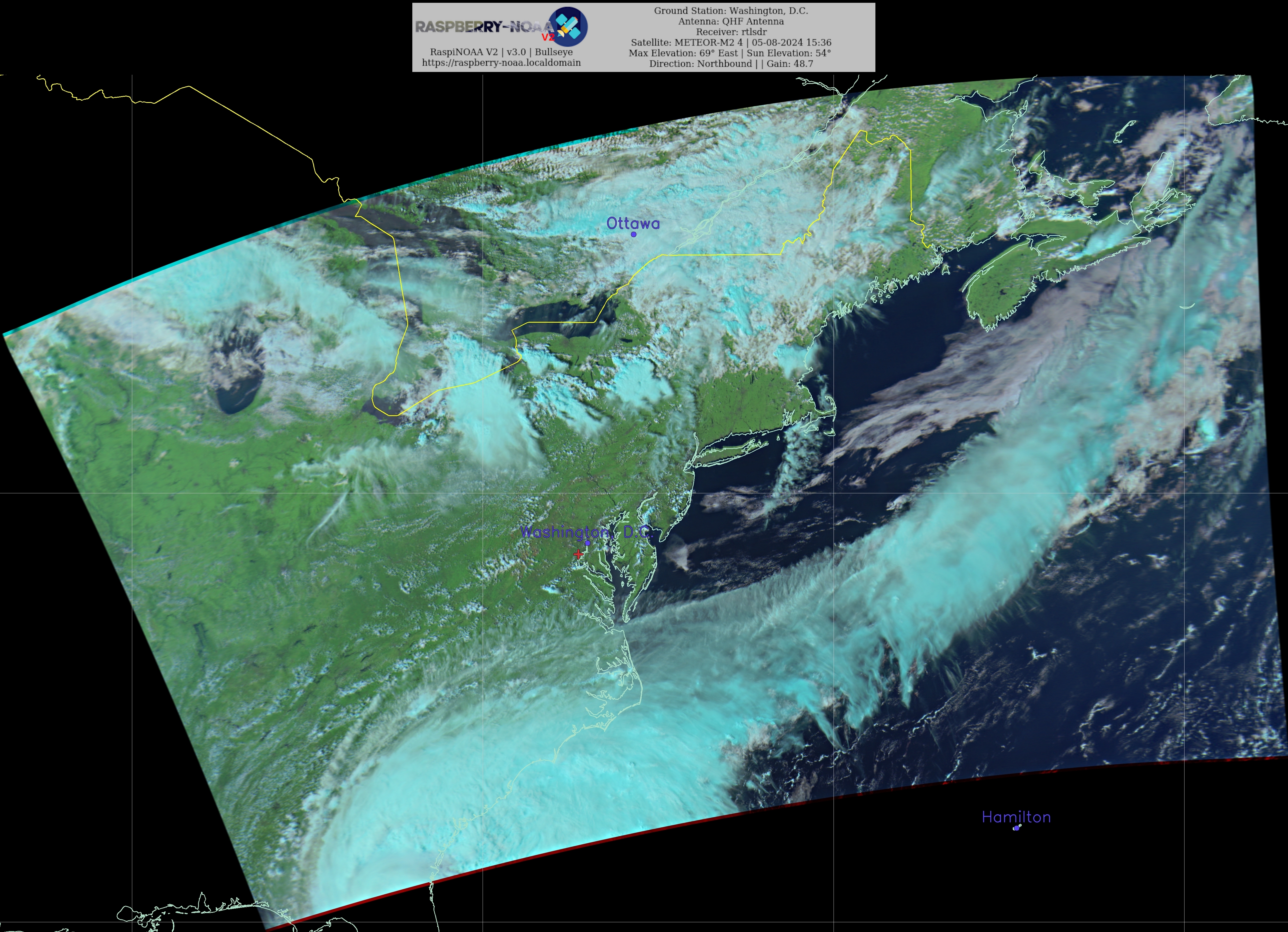
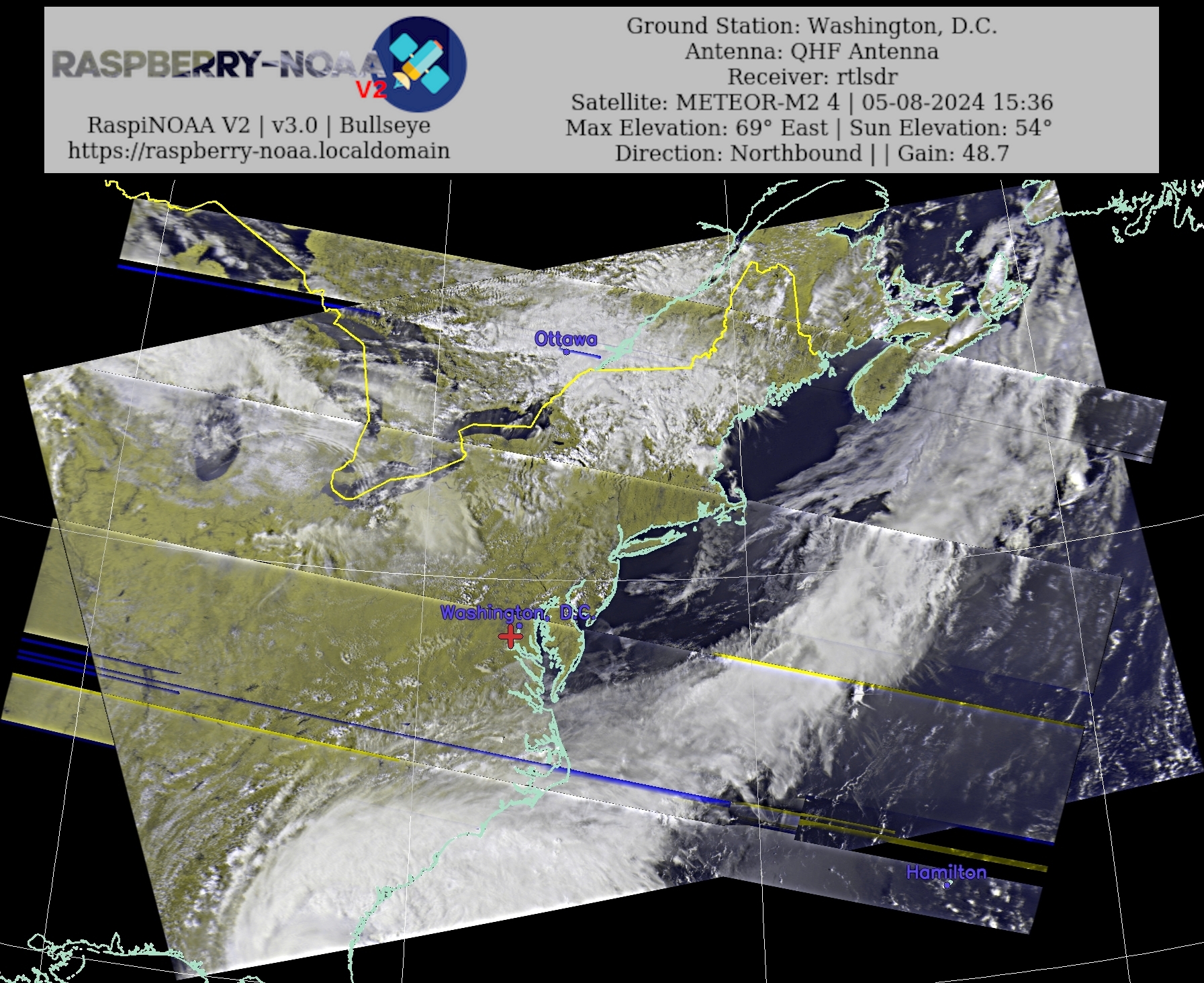
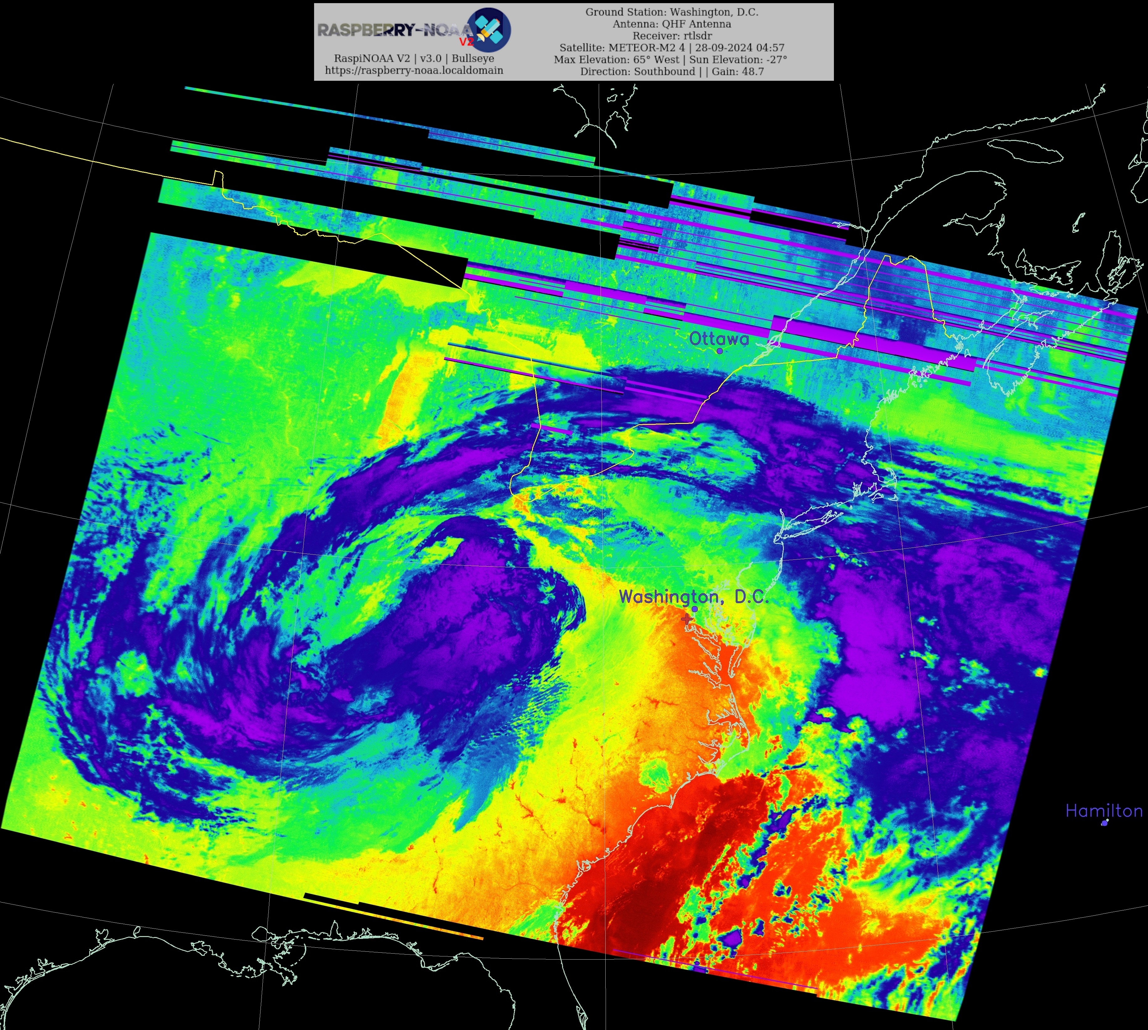
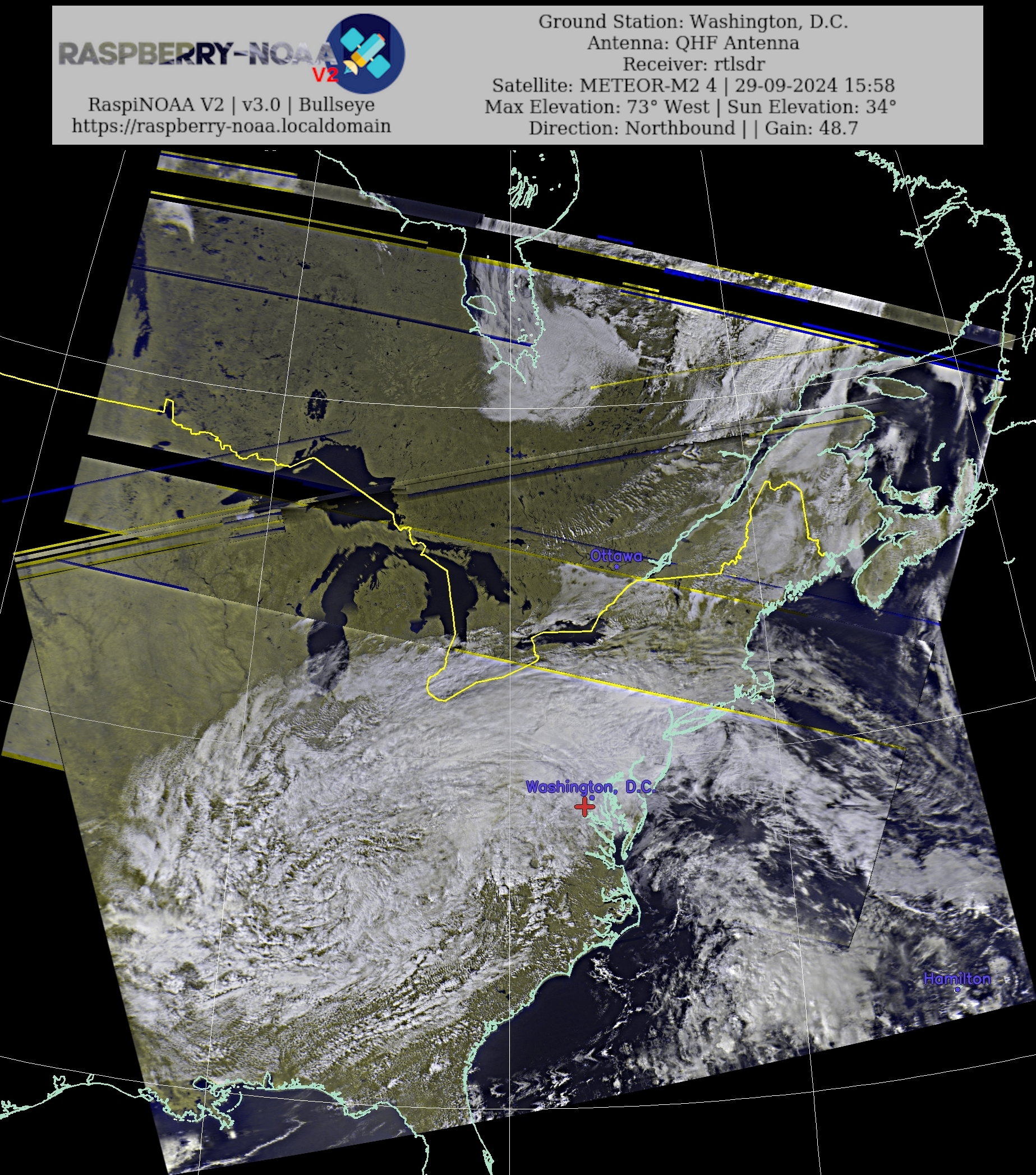
The U.S. NOAA series and Russian Meteor series satellites can be heard quite easily with the correct antennas, and you can get some neat images from the transmissions.
The NOAA satellites use Automatic Picture Transmission (APT), and the Meteor satellites use Low Rate Picture Transmission (LRPT). APT can be heard as beeping when using
a radio to listen. The video of a NOAA 15 is an example. Both APT and LRPT signals can be acquired pretty easily using a QHF antenna and anything that records the satellite's
signal. My setup is built with a Raspberry Pi 4 B with Raspberry-NOAA v3 software, a RTL-SDR Blog V3 Dongle, a NooElec SAWbird NOAA LNA, and a homebuilt QHF antenna.
The antenna itself is built with some PVC piping, 1/8in ID copper piping, and some TV coax cable. I found building instructions for the antenna on
usradioguy.com, and programming instructions can be found at github.com/jekhokie/raspberry-noaa-v2.